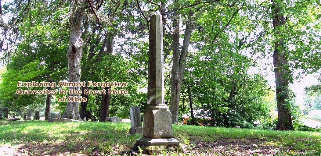
Exploring Almost Forgotten Gravesites in the Great State of Ohio

Dedicated to cemetery preservation in the great state of Ohio


"A cemetery may be considered as abandoned when all or practically all of the bodies have been Removed therefrom and no bodies have been buried therein for a great many years, and the cemetery has been so long neglected as entirely to lose its identity as such, and is no longer known, recognized and respected by the public as a cemetery. 1953 OAG 2978."

Thursday, December 21, 2023

"Shaker Heights Receives 2023 Certified Local Government Grant for Warrensville West Cemetery"


Excerpt:

"The City of Shaker Heights has been awarded a 2023 Certified Local Government grant for gravestone restoration at Warrensville West Cemetery. 

The grant program is administered by the State Historic Preservation Office of the Ohio History Connection.

"More information about the cemetery, the Historic Preservation Mast Plan and educational opportunities can be found at shakeronline.com/cemetery."

~*~*~*~*~*~*~*~

Warrensville West Cemetery

Historic Preservation Master Plan, which is a 295 page document completed March 14, 2022. 

~*~*~*~*~*~*~*~

Warrensville West Cemetery on Find a Grave

~*~*~*~*~*~*~*~

Saturday, December 9, 2023

Atlas Preservation will once again be holding its "48 State Tour" conducting hands-on cemetery preservation workshops during 2024 - free to the public!

Atlas Preservation has just announced they will once again be holding a state-by-state tour of cemetery preservation workshops in 2024.  

Here is a link to their first post about the upcoming tour program. 

"All events are 100% free to the public!"

~*~*~*~*~*~

"We’re looking for 2024 hosts!
Email us with your location details"
48states48days@gmail.com

~*~*~*~*~*~

The "48 State Tour" has its own Facebook Page!

~*~*~*~*~*~

Atlas Preservation on Youtube!

~*~*~*~*~*~

"Please join us. Watch, listen, learn, or help & we look forward to seeing you in your home state along our journey."

Click here to check out the FAQ page for a general overview of a what a workshop looks like!"

Friday, December 1, 2023

Re-visiting some online Ohio W.P.A. Cemetery Plat Maps (AKA Veterans Graves Registration) and analyzing their format from one county to the next.

Sharing some examples of various arrangements of W.P.A. Cemetery Plat Maps posted online from a sampling of Ohio Counties.:

Belmont County's W.P.A. Cemetery Plat Maps.:

********************

Coshocton County's W.P.A. Cemetery Plat Maps.: 

                                     *******************
Hamilton County Recorder's Office W.P.A. Cemetery Plat Maps.:

********************
Knox County W.P.A. Cemetery Plat Maps - a direct link after taking a few "clicks" in the appropriate categories on the website of the Tax Map & G.I.S. Department to arrive at this link below with the maps in .pdf format.).:

https://co.knox.oh.us/wp-content/uploads/2022/01/Cemetery-Maps.pdf

********************
Union County Records Center and Archives - named as Veterans Grave Maps which are the same as the W.P.A. Cemetery Plat Maps.:


                                     ********************
Williams County W.P.A. Cemetery Plat Maps (AKA Veterans Graves Registration) & History.:

The first link is for Williams County Veterans Graves Registration & History.  


                                ********************

Dashboard:

                                ***********************

Originally in Ohio when these maps were created which was during the years of the Great Depression when the W.P.A. program was operational, one copy of the maps was placed at the Recorder's office for safe keeping.  

As we know now these maps, that are mostly found in hardbound books in a large size, need to be properly scanned and saved in a format such as .PDF; which I'm finding is quite often used.  

After the scanning is done, the images of the map pages are saved and offered to the public online in one format or another which varies from county to county.  
If these cemetery plat maps end up in a county archives or even at a county library then the possibility goes down, unforunately, that they will be posted online for the public's use.  
Thus, the Tax Map and the G.I.S. Departments more recently are the ones that offer these types of maps than an Engineer's Department. 
I'm learning that the most likely places in the county government that make sense to post them is right on their own websites if they have the resources available for them to do so (staffing and funding problems are often cited as reasons that hamper getting the job done), however, it may take some instructions for which categories are needed to access first (could be more than one) for a researcher to "work their way through" using their website in order to actually find them.

The Veterans Graves Registration / W.P.A. Cemetery Plat Maps  posted online are now I'm finding mostly at Tax Map / G.I.S. departments and in various formats (mostly saved as .PDF documents) ranging from a simple single PDF document containing all of the county's cemetery map pages to the more complex format presentations such as those offered by Williams County.  

So it is that we find that Ohio's counties are not following one set format for how these cemetery plat maps are arranged and presented on their websites.  However, a researcher can learn to adapt from one county to another if there are good instructions provided on the website that helps them navigate to the right place to bring up the map images to view and save them. 

***********************