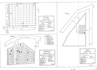
Below are the WPA Cemetery Plat Maps that were drawn for the smaller Muskingum County cemeteries.
These WPA era plat maps list the names of known U. S. veterans through World War I buried at a cemetery. Their war and burial location designations are listed and shown on the map for each cemetery.
These Muskingum County plat maps appear to have been re-created at a later date except for the title, index, and addenda pages.
Definitely, the WPA Cemetery plat maps for Ohio cemeteries are a tremendous resource for helping to identify veteran burials.
These often overlooked maps, which may also be unknown to some, are to be preserved and shared as much as possible because of their unique value and usefulness.
~*~*~*~*~*~*~
~*~*~*~*~*~*~
(The Legend above is retyped from a listing
for Spring Grove Cemetery in Cincinnati, Ohio.)


